01Two approaches we tried
A · Generate each building with AI
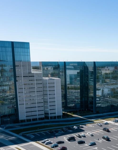
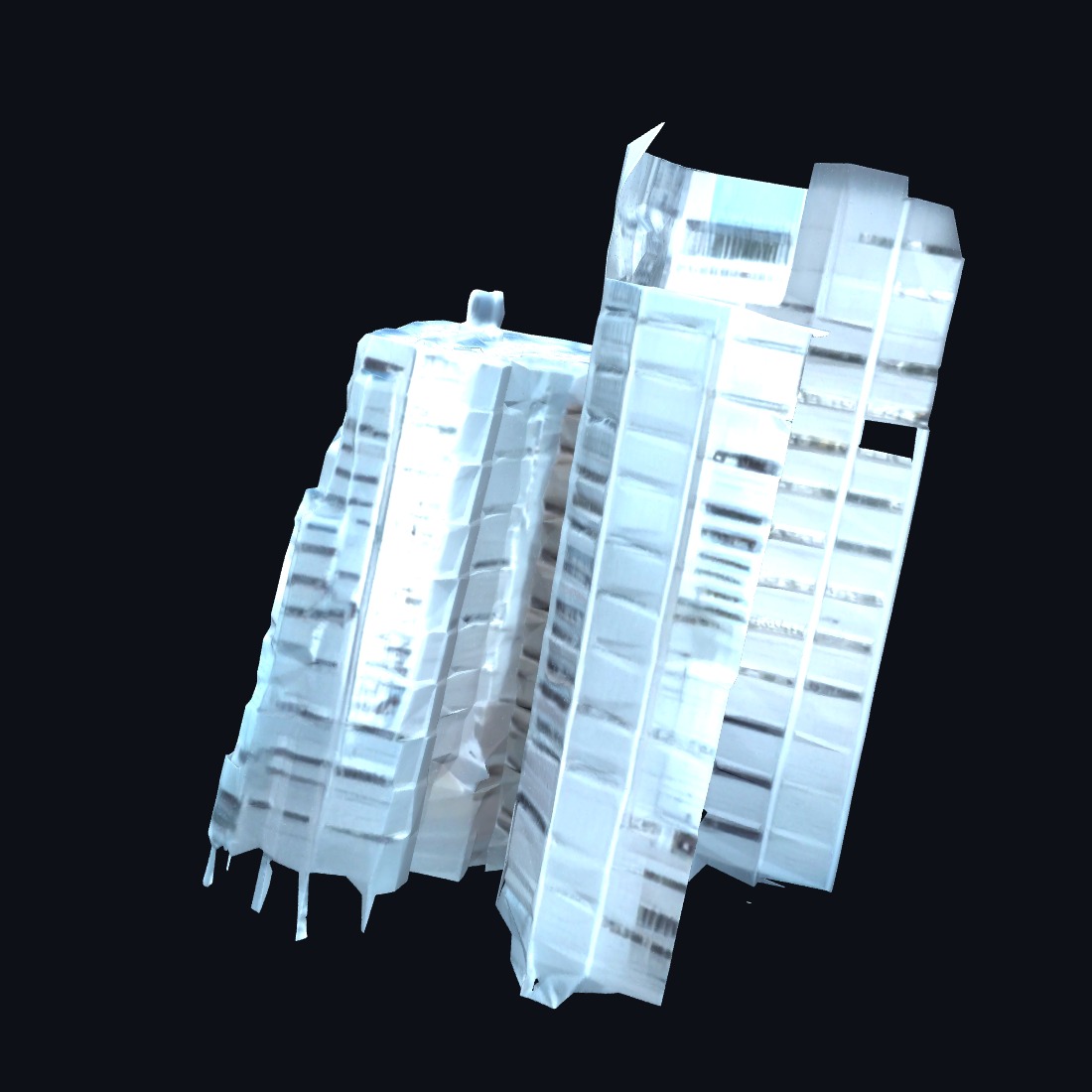
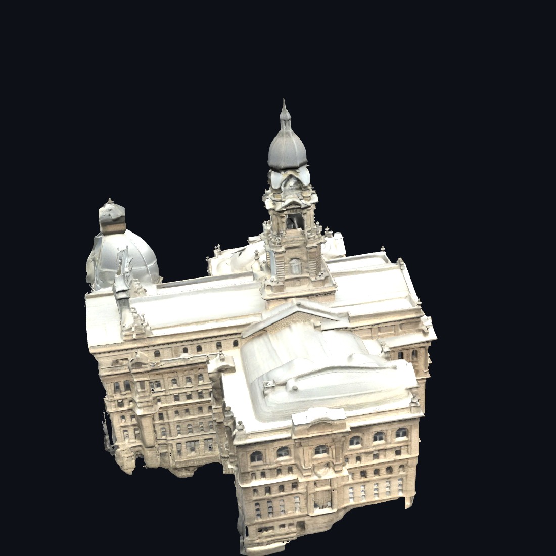
Photo(s) + Apple/Google reference + OSM → an image-to-3D model (TRELLIS.2 / Pixal3D) → textured GLB → LODs → Blender. Ran end-to-end on real buildings. Result: usable for a single object; per-building at scale it produced arbitrary orientation/scale, thin/degenerate geometry, and each building is a separate GPU job.
B · Reconstruct from captured data
Public USGS 3DEP LiDAR + NAIP aerial color + OSM footprints → one continuous mesh or splat covering thousands of buildings at once. Result: continuous, recognizable, license-clean, no floaters. Sections 02+ cover this path.
Approach A results — TRELLIS.2 / Pixal3D (image → 3D)
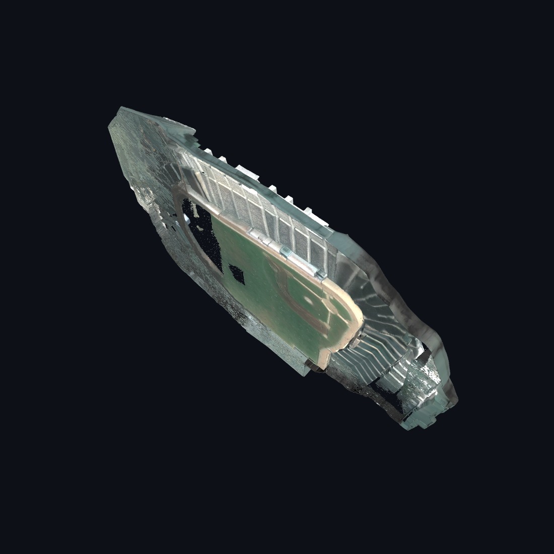
One reference image → a textured GLB mesh (~1M triangles each), run on a rented Vast GPU. Outputs below rendered fresh on hardware WebGPU.
02The data foundation — one district, fully measured
Everything starts from three free, commercially-clean sources for the RangerOne district (Arlington, TX): USGS 3DEP LiDAR (real 3D points), USDA NAIP aerial imagery (color), and OpenStreetMap footprints (2,722 buildings). No Google/Apple pixels touch the output — they're reference only.
03From points to a solid, continuous world
We first tried turning the environment into a Gaussian Splat (same medium as the hero). Across four retrains, the splat kept smearing buildings into vertical streaks — not a tuning problem, but a data ceiling: 2018 aerial LiDAR has dense roofs/ground and weak walls, so free-floating gaussians have nothing to anchor to.
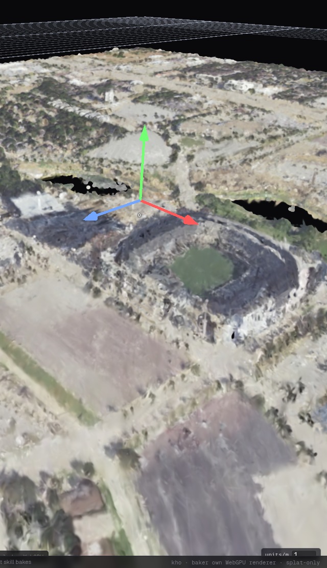
env3.csplod (2.6M gaussians, WebGPU 3DGS renderer): stadium bowl, terrain, trees, river.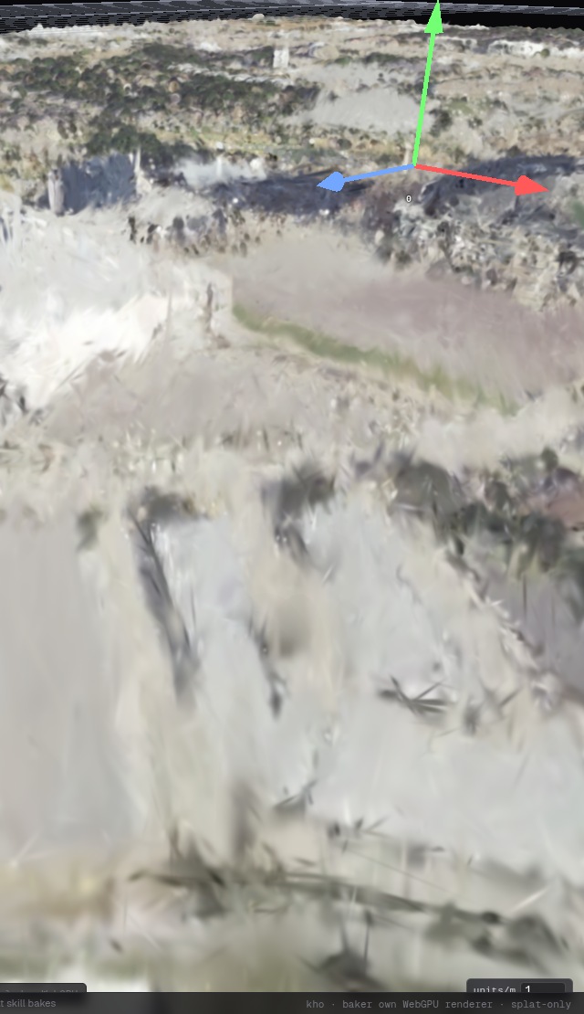
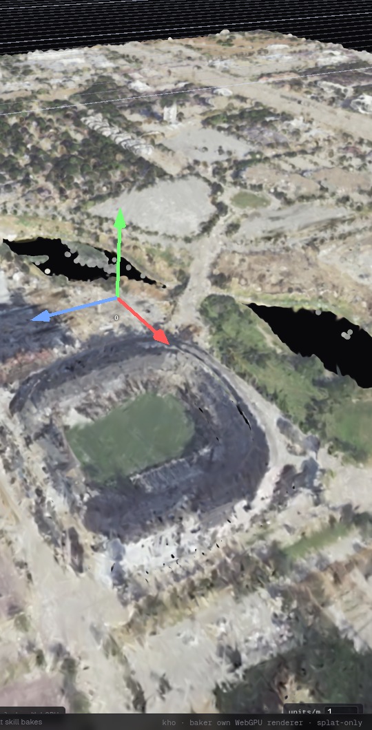
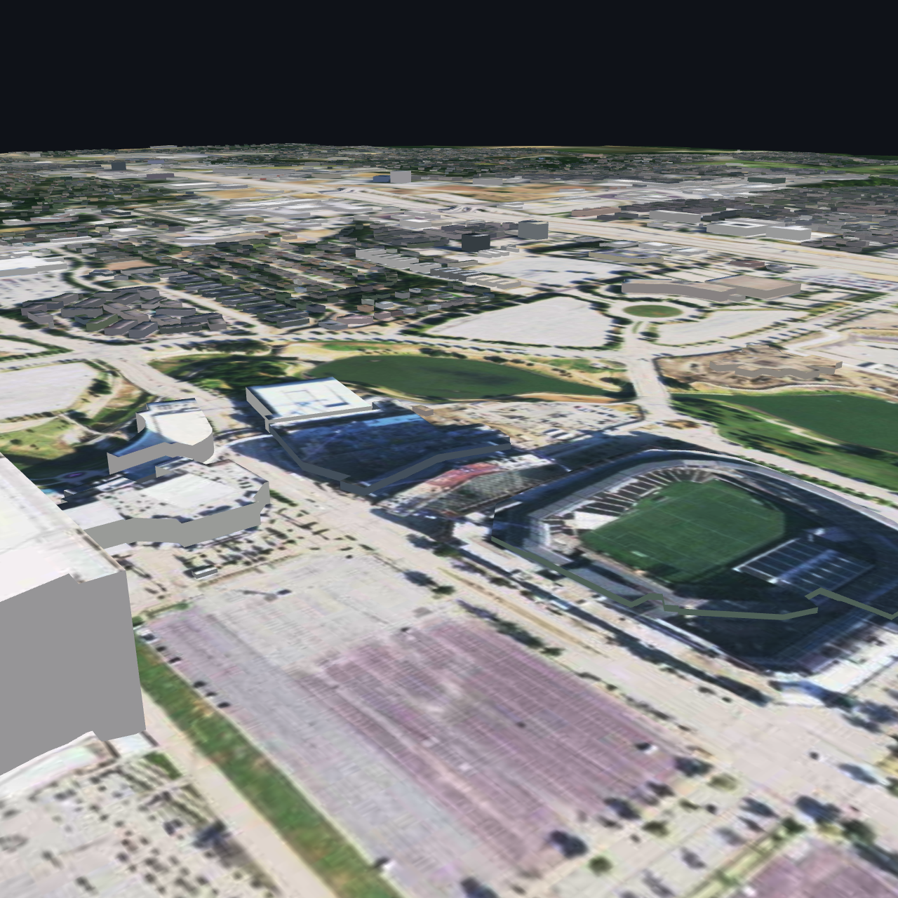
The fix was to stop fighting it: mesh the LiDAR into a continuous surface (like Cesium terrain). A surface can't float, so the smear disappears entirely — and the points already carry aerial color, so it's textured for free.
See it live — interactive 3D in your browser
These are real WebGPU meshes generated from the LiDAR — no Google/Apple geometry. Continuous surface = zero floaters, fully recognizable stadiums/roads/ponds/trees.
04The hard part: facades (walls)
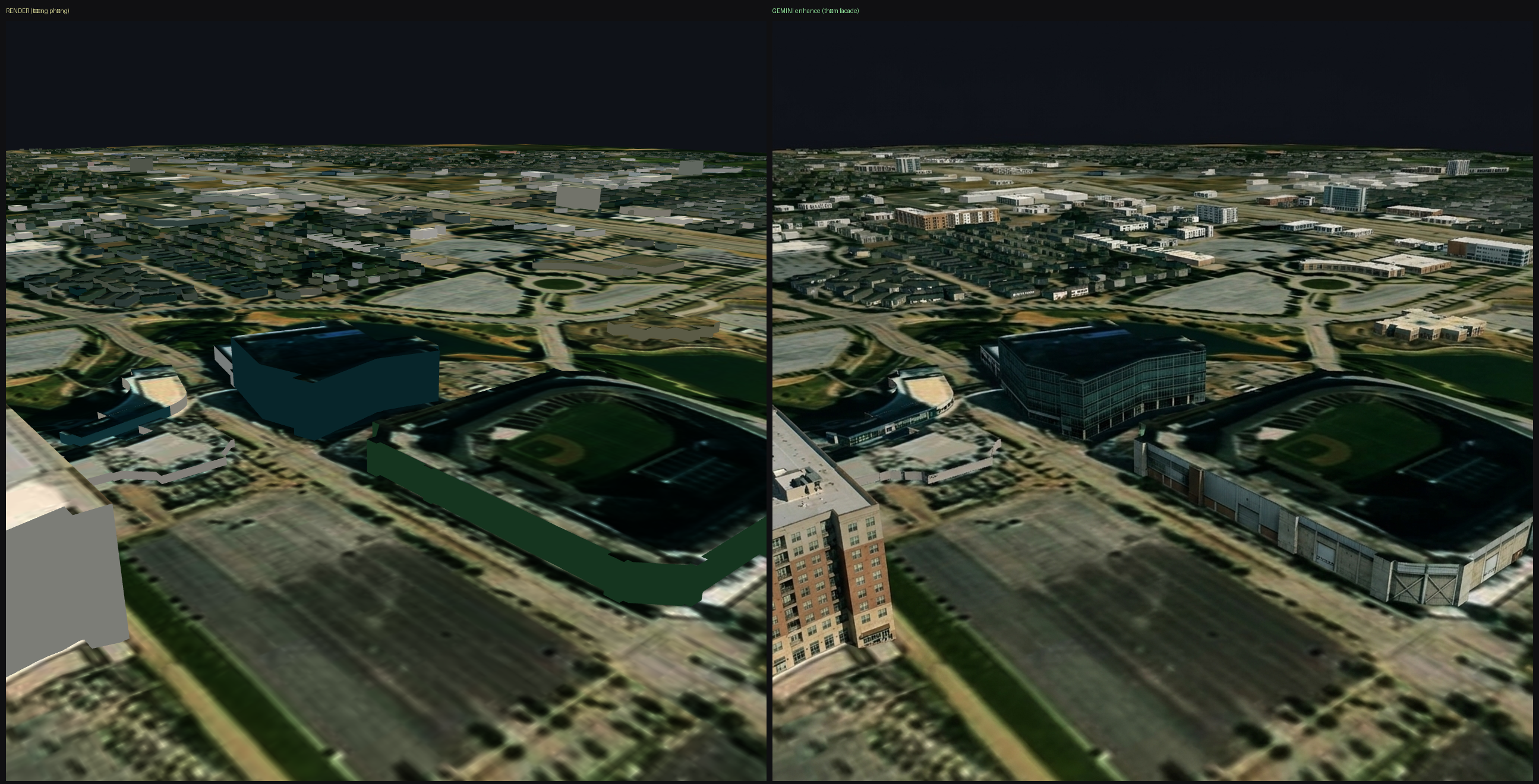
Aerial capture sees roofs and ground but almost no walls. On a raw LiDAR mesh, buildings "melt" (roof slopes straight to the ground with no vertical face). The approach we used: take the OSM footprint, take the roof height from LiDAR, and extrude vertical walls between them (City3D / LoD2).
05AI enhancement — what we measured
We tested AI image enhancement (Gemini, Qwen-Image-Edit) on the renders before training. Enhancing each rendered view independently: splat trained to mush, measured PSNR ~9.5. Enhancing a single shared 3D surface (texture-bake) then rendering consistent views from it: PSNR ~22.
06Google/Overture photoreal 3D tiles
We also stood up Google/Overture photorealistic 3D tiles with a streaming LOD system (90% less download for an overview).